
Every angler on the Southern California coast has stood at the dock at 4 a.m. asking the same question: is today actually worth the fuel? I've asked it plenty of times, usually with a full tank on the line and a crew waiting on me. That question is the reason I launched Fish or Pass, and I want to walk you through what it does.
Fish or Pass is a daily report card for the water. It covers the Southern California Bight, from Point Conception down to the Mexican border, including the Channel Islands and the offshore banks. Each day it gives you one honest verdict for the species you're after: Catching, Fishing, or Pass.
Why I Built Fish or Pass
A trip costs real money. Between fuel, the fare on a charter, and the early alarm, a skunked day stings, and most of the time you could have seen it coming if you had read the water the right way. A good captain reads a handful of signs before he commits. The trouble is that no single person can hold all of them in their head at once.
Fish or Pass reads all of them for you, folds them into one score, and tells you plainly whether the day is worth it before you spend a dollar. It's built for recreational and charter anglers who want a straight answer, not a pile of charts to interpret.
One Daily Verdict: Catching, Fishing, or Pass
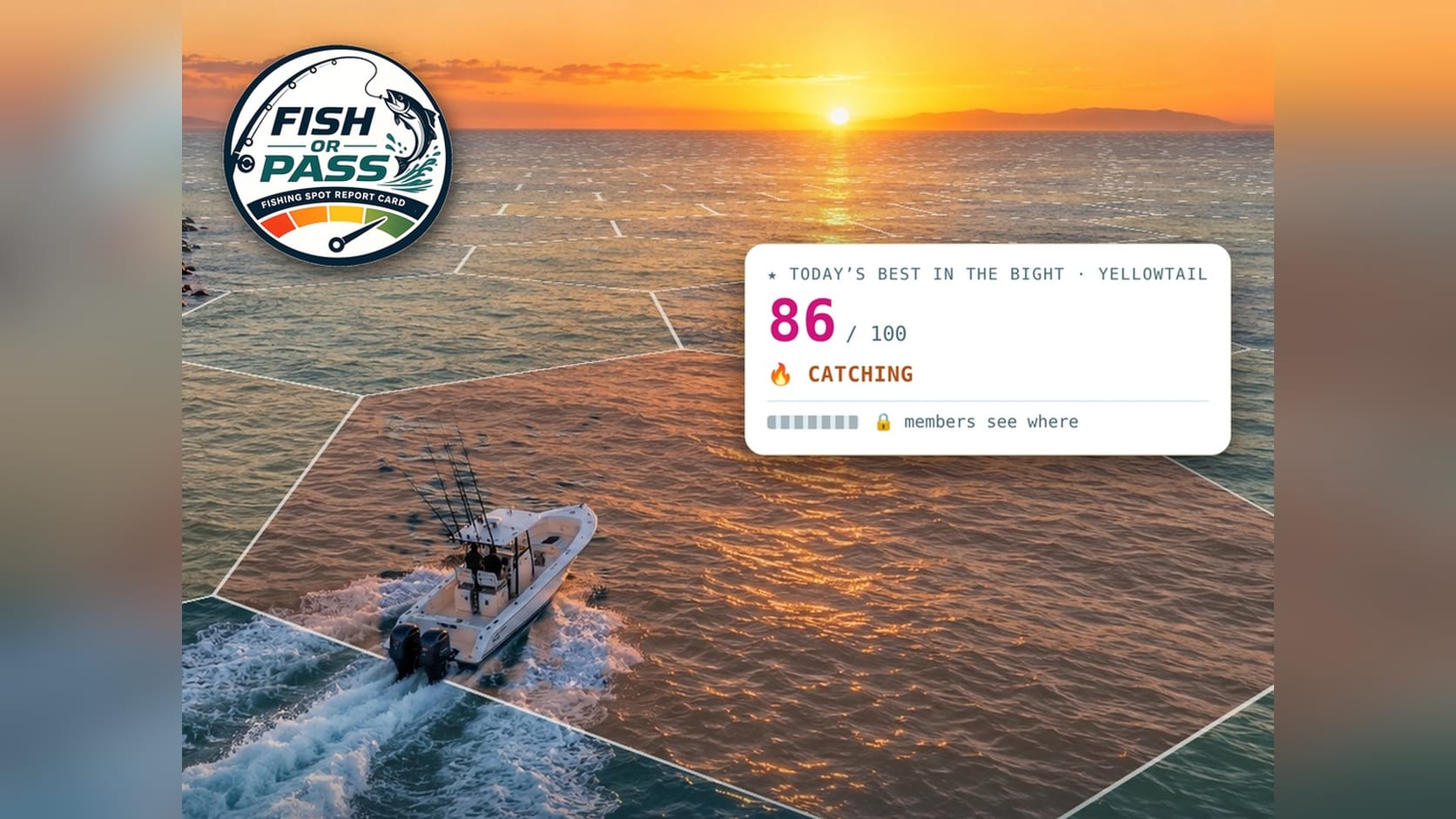
The heart of the app is the Bite Score, a number out of 100 for each species and each patch of water. A score from 72 to 100 reads Catching, which means conditions line up well. From 55 to 71 reads Fishing, a workable day that may take more effort. Anything below that reads Pass, and I'd stay home or find a different species.
The score is a conditions grade, not a promise. A high number doesn't guarantee a fish in the box, and the app says so right up front. What it does is tell you where the odds are best and where they aren't, which is exactly what you want to know before you leave the harbor.
Pick Your Fish, Then Pick Your Harbor
You start by choosing your target. Fish or Pass covers bluefin, yellowfin, yellowtail, dorado, calico bass, rockfish, and marlin, with white seabass, barracuda, and bonito on the way. Each species is scored against its own temperature range, depth, and habits, because a calico bass day and a bluefin day are two very different things. You can browse the species guides to see how each one is handled.
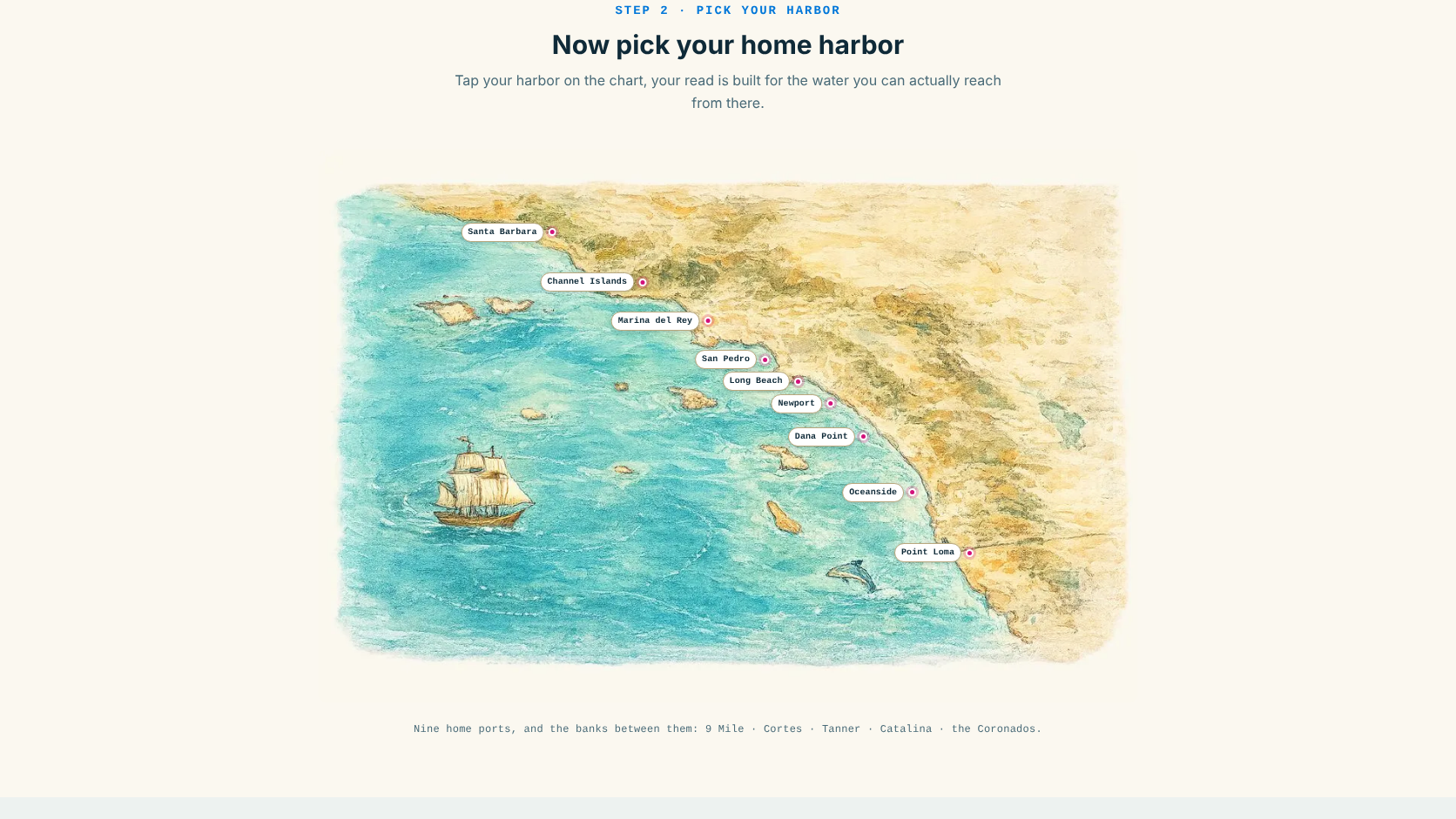
Then you pick your home port. There are nine to choose from, including Point Loma, Oceanside, Dana Point, Newport, San Pedro, and the Channel Islands. Your read is built for the water you can actually reach from there, along with the named banks and breaks fishermen know by heart, like the 9 Mile, Cortes, Tanner, Catalina, and the Coronados.
Six Signals Behind Every Score
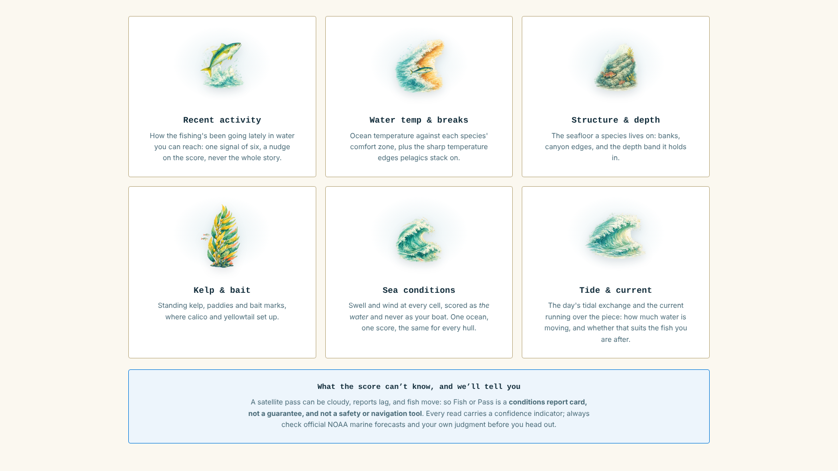
Under the hood, every score is built from six signals. Recent activity looks at how fishing has been going lately, though it's only a nudge. Water temperature and breaks compares the ocean to each species' comfort zone and watches for the sharp temperature edges that pelagic fish stack up on. Structure and depth covers the banks, canyon edges, and depth bands a species lives on.
Kelp and bait tracks standing kelp, floating paddies, and bait marks, which matter a lot for calico bass and yellowtail. Sea conditions scores swell and wind, and tide and current measures how much water is moving and whether that suits your target. The data comes from sources like NOAA, CoastWatch, CDFW, SCCOOS, and Open-Meteo, refreshed daily. The full breakdown is on the how it works page.
Built for Your Boat
Here's the part I'm proud of as a boat guy. You can save your vessel and its range, and the map will only show water you can reach safely. A center console and a 50-foot sportfisher don't have the same options on a day with a big swell, and the app respects that. The boat doesn't change the score itself, only which water is on your map. Vessel data is powered by Set Sale Marine, so it comes from people who spend their days looking at real boats.
Honest About What It Can't Know
I wanted this to be a tool you can trust, which means it has to admit its limits. Every read shows a confidence level based on how much real data stands behind it. Data close to port with recent reports rates high, and sparse offshore data rates low. A satellite pass can be cloudy, reports lag, and fish move.
The app also won't invent a bite report or a catch count. If it doesn't have the number, it doesn't make one up. And it's not a safety or navigation tool, so keep checking the official NOAA marine forecast and use your own judgment before you head out.
Try Fish or Pass Free Before Your Next Trip
You can try a free read with no account, and the Angler plan runs a 7-day free trial, then $149 a year, with a card up front and cancellation during the trial costing nothing. Captain and Fleet plans are in the works for people who want alerts, custom routing, and multi-boat tools.
If you fish Southern California, head over to FishOrPass.com and check today's read before you fuel up. I'd love to hear how it matches what you find on the water, so drop your experience in the comments, fellow boat owners and anglers. Thank you for sailing with us.
